Leica Ds4000
Leica DS4000 Ground Penetrating Radar (GPR) System
See What Others Miss Beneath the Surface
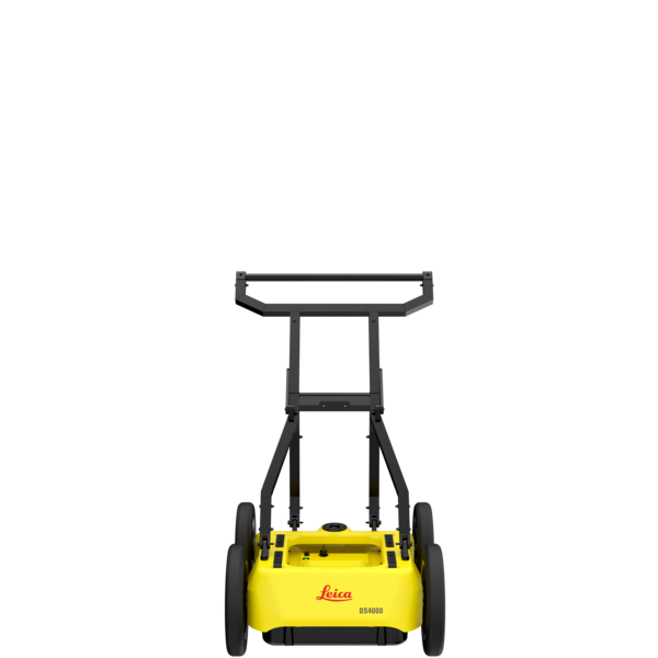
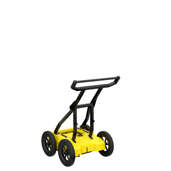
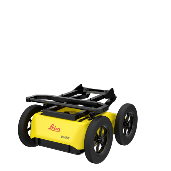
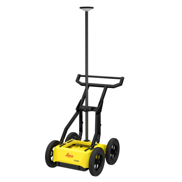
The Leica DS4000 is a high-performance ground-penetrating radar system built for real-world field use. It delivers clear, real-time subsurface data for utility locating, concrete inspection, and underground mapping.
Crews rely on it to identify subsurface targets before cutting or excavation begins.
Unlike traditional locating methods, the DS4000 does not depend on conductive materials. It uses advanced radar technology to detect both metallic and non-metallic objects. This makes it a reliable option for modern job sites where conditions vary.
Why the Leica DS4000 Stands Out
Advanced Subsurface Detection Capabilities
Accurate detection is critical to avoiding utility strikes and keeping projects on schedule. The DS4000 is designed to deliver consistent results across different materials and ground conditions.
It can locate:
- Metallic and non-metallic utilities
- PVC, HDPE, and other plastic pipes
- Fiber optic lines
- Voids and subsurface anomalies
- Rebar and post-tension cables in concrete
This is especially useful where electromagnetic locators fall short. It provides a clear advantage when locating non-conductive utilities without tracer wire..
Dual-Frequency Antenna for Superior Clarity
GPR performance depends on both depth and resolution. The DS4000 is built to deliver both.
Its dual-frequency antenna provides:
- High-resolution imaging for shallow targets
- Deeper penetration for utility mapping
- Clearer separation between targets
Operators get a more accurate view of subsurface conditions. This improves confidence during interpretation.
Real-Time Data Visualization with Leica CT1500 Tablet
The DS4000 pairs with the Leica CT1500 tablet for real-time data capture and review. The interface is straightforward and built for field conditions.
The tablet includes:
- High-resolution display for clear radar images
- Touchscreen and digitizer input for control
- Integrated GPS and connectivity
- Leica software for data processing
Operators can locate, mark, and move forward without leaving the job site.
Built for Real-World Jobsite Performance
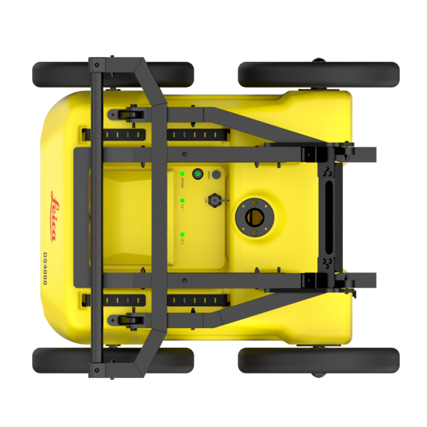
Rugged, Field-Ready Design
Jobsite conditions are rarely ideal, which is why durability and stability are essential for consistent scanning results. The DS4000 is built to withstand daily field use while maintaining precise data collection across varied terrain.
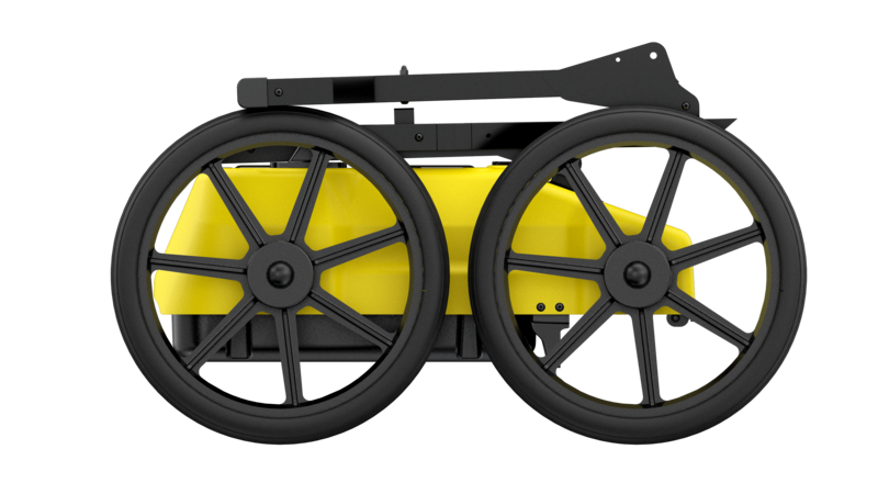
The DS4000 is engineered to handle demanding environments due to its:
- Shock-resistant frame and durable wheel assembly
- Weather-resistant components for outdoor use
- Stable cart design for smooth, consistent scanning
This ensures reliable performance whether you are scanning concrete slabs indoors or mapping utilities across uneven terrain.
Efficient Workflow from Scan to Insight
Field efficiency matters. Delays impact timelines and costs.
The DS4000 is designed to keep crews moving. It simplifies the process from scanning to decision-making.
The system supports:
- Fast setup and deployment
- Continuous data collection while walking
- Immediate visualization of results
- Simple export for reporting
Crews can move directly from detection to action.
This reduces downtime and allows teams to move quickly from detection to decision-making.
Applications Across Industries
The Leica DS4000 is widely used across multiple industries where subsurface accuracy is critical:
- Utility Locating & Damage Prevention – Identify underground infrastructure before excavation
- Concrete Scanning – Locate rebar, conduits, and post-tension cables before cutting or coring
- Construction & Engineering – Map subsurface conditions for planning and design
- Municipal & Infrastructure Projects – Inspect roads, bridges, and public utilities
- Environmental & Geophysical Surveys – Detect voids, changes in soil conditions, and buried objects
Key Benefits for Buyers
Investing in advanced GPR technology means delivering measurable returns in safety, efficiency, and project accuracy. The Leica DS4000 provides tangible advantages that directly impact both operational performance and long-term cost savings.
- Reduce costly utility strikes and project delays
- Improve safety for crews and job sites
- Increase accuracy when locating non-metallic utilities
- Minimize rework in concrete cutting and drilling
- Deliver professional-grade documentation for clients
Why Buy the Leica DS4000 from NOAR Technologies
NOAR Technologies provides more than equipment. We support the full process.
That includes:
- System selection guidance
- Training for proper use
- Workflow integration
- Ongoing service and support
When precision matters, having the right partner is just as important as having the right equipment.
Get Expert Guidance on the Leica DS4000
The Leica DS4000 is built for professionals who need reliable subsurface data. It performs in conditions where other methods fall short.
If accuracy matters on your projects, this system is built to deliver.
Product Resources
Watch the DS4000 in Action


Our Partners
We have strong partnership with the biggest brands. That’s why we can offer the best solutions
.png)
.png)
.png)

.png)

