Leica RTC500 3D Laser Scanner
The Leica RTC500 balances speed, range, and operational flexibility for professionals who need a versatile 3D laser scanner across changing project conditions. It captures up to two million points per second and reaches out to 130 meters, completing a full-dome scan with a calibrated HDR image in roughly one minute and forty seconds, so you cover more ground in fewer setups.


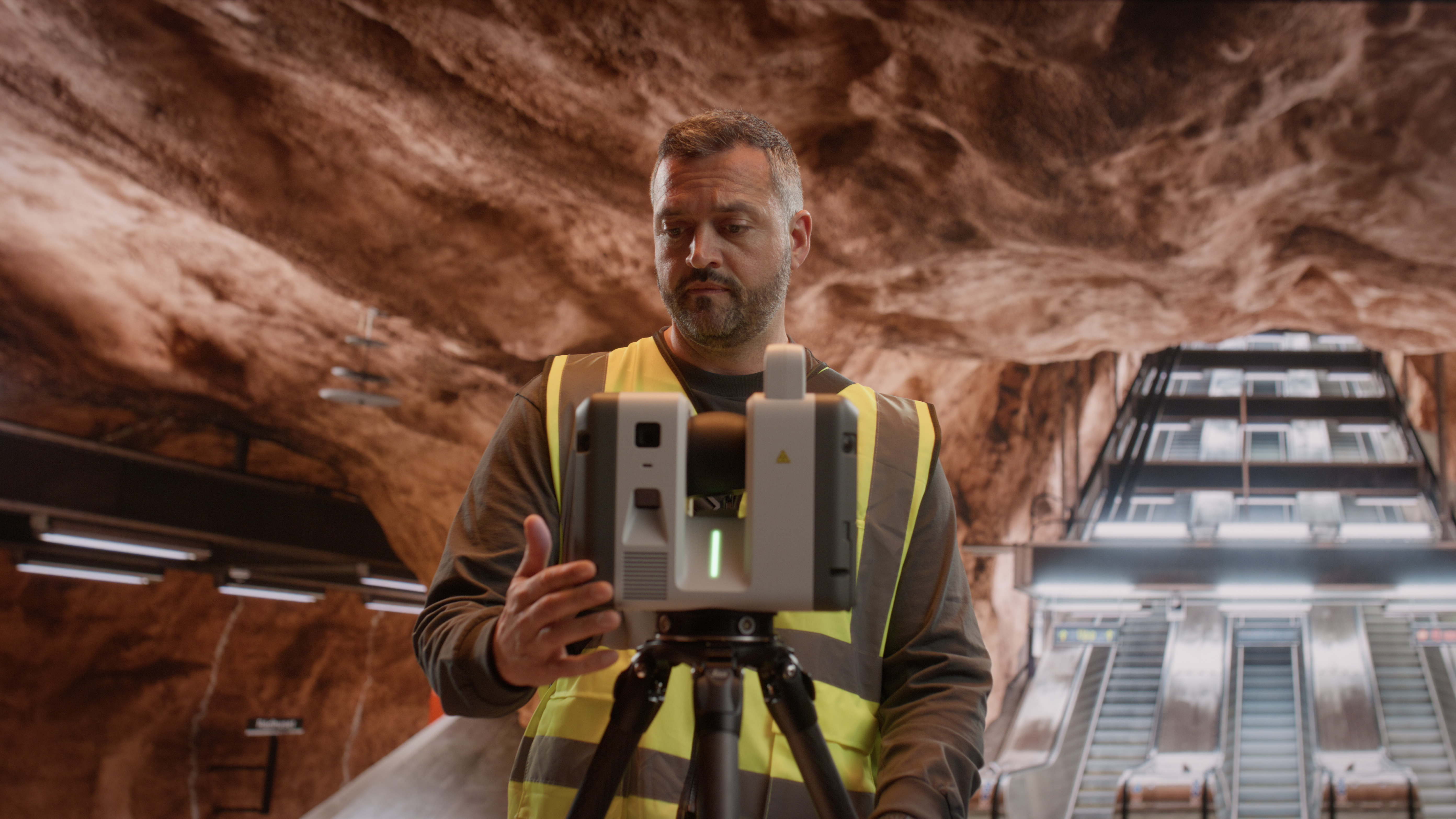
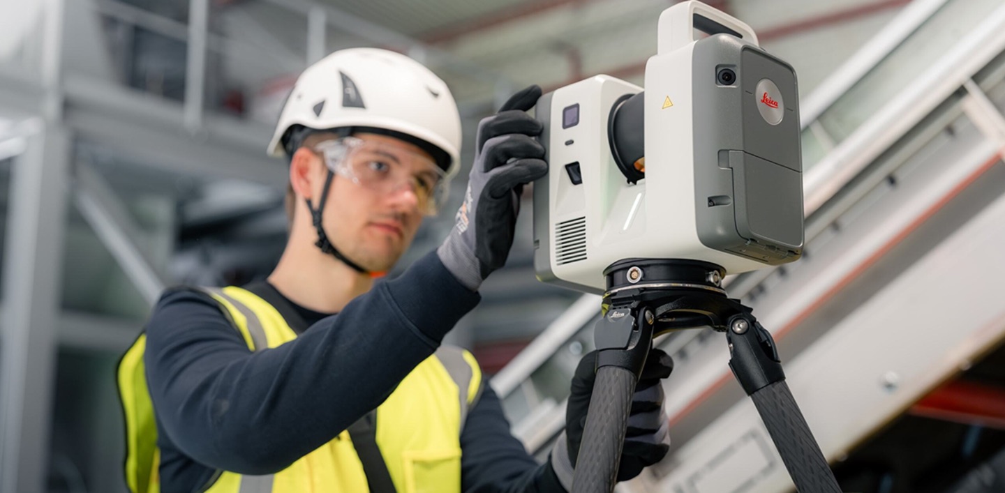
Built for surveying, infrastructure, and public-safety environments, the RTC500 pairs high-performance scanning with rugged reliability and connected collaboration. Real-time synchronisation between field crews and office teams through Leica Cyclone FIELD 360 and Hexagon GeoCloud helps improve coordination, reduce bottlenecks, and move projects from capture to deliverable with confidence.
Twice the Speed, Greater Reach
The RTC500 scans up to 2,000,000 points per second, double the throughput of the RTC300, and extends maximum range to 130 meters (capturing to 3.5% albedo at 85 m and 8% albedo at 130 m). A complete full-dome scan with a spherical HDR image takes about one minute and forty seconds at 6 mm resolution at 10 meters, letting crews capture large or complex sites quickly without sacrificing fidelity.
Survey-Grade Accuracy You Can Build On
Powered by Leica's high-dynamic time-of-flight engine with Waveform Digitising, the RTC500 delivers 1.5 mm 3D point accuracy at 10 meters, 10″ angular accuracy, and a range accuracy of 1.2 mm + 10 ppm. Automatic self-calibration during normal operation keeps the scanner performing to specification with no targets or manual routines required.
Real-Time Registration in the Field
The Visual Inertial System (VIS) auto-registers scans on site by tracking the scanner's position and movement as the crew works. Combined with IMU-based tilt compensation, GNSS, and a shock sensor, the RTC500 gives operators immediate confidence in their setups and alignment, reducing the risk of revisits on time-critical jobs.
Rich HDR Imaging for Context and Documentation
A 72 MP, six-camera system captures 432 MPx of raw HDR data and produces a calibrated 360° × 300° spherical image at 174 MPx in just 30 seconds, in any lighting. For public-safety scene documentation, infrastructure inspection, and as-built surveys, that color context turns raw geometry into a record decision-makers can interpret at a glance.
Connected from Field to Office
Livelink connectivity in Cyclone FIELD 360 and Hexagon GeoCloud shares scan data in real time between crews and office experts, supporting multi-unit coordination on larger operations. Finalise registration and export in Cyclone REGISTER 360 PLUS, including reporting on errors, overlap, and tolerances, all within one continuous reality-capture environment.
Quick Facts
• Up to 2,000,000 points per second
• Range up to 130 m
• Full-dome scan + HDR image in ~1 min 40 s
• 1.5 mm 3D point accuracy at 10 m
• 72 MP / 432 MPx HDR imaging, 360° × 300° spherical capture
• VIS real-time auto-registration and Livelink cloud collaboration
• Laser Class 1 (eye-safe), IP55 rated
• Ideal for surveying, infrastructure, and public safety
Frequently Asked Questions
What is the Leica RTC500?
The Leica RTC500 is a terrestrial 3D laser scanner in Leica's RTC series that balances speed, range, and flexibility. It captures up to two million points per second to a range of 130 meters, with a 72 MP HDR imaging system and real-time VIS auto-registration.
What is the range of the Leica RTC500?
The RTC500 reaches a maximum range of 130 meters, capturing to 3.5% albedo at 85 meters and 8% albedo at 130 meters, with a minimum range of 0.5 meters.
How fast is the RTC500?
It captures up to 2,000,000 points per second and completes a full-dome scan with a spherical HDR image in about one minute and forty seconds at 6 mm resolution at 10 meters.
What is the difference between the RTC500 and the RTC300?
Both share the same imaging, accuracy, and connected workflow platform. The RTC500 captures twice as fast (2M vs. 1M points per second) and reaches 130 m versus the RTC300's 85 m, making it better suited to larger or longer-range sites.
What is the difference between the RTC500 and the RTC700?
The RTC700 matches the RTC500's 2M pts/sec speed but extends range to 270 m, adds an Area Scan mode down to 0.8 mm at 10 m and a finer 1.6 mm resolution step, and includes a full on-board surveying suite (traverse, known backsight, setup over known point, and more).
Is the RTC500 suitable for public-safety work?
Yes. Its fast capture, color HDR imaging, and rugged IP55-rated build make it well-suited to scene documentation and other public-safety reality-capture tasks, alongside surveying and infrastructure applications.
Leica RTC500 Technical Specifications
Performance highlights
Series specifications
Accuracy figures are stated at a 68% confidence level per JCGM 100:2008, at 89% albedo (range noise for single-shot measurements). Specifications are sourced from the Leica RTC Series data sheet and are subject to change without notice.
Want To Know More?
Download the RTC Comparison Guide
Put the Leica RTC500 to Work — Buy, Rent, or Demo at NOAR Technologies
Whether you're capturing expansive sites at range, documenting public-safety scenes, or surveying infrastructure, NOAR Technologies helps you match the RTC500 to the job. As North America's leading Leica HDS distributor, we pair every scanner with software, certified onsite and offsite training, and hands-on implementation support, plus a rental program so you can prove the RTC500 on your own project before you invest.


Our Partners
We have strong partnership with the biggest brands. That’s why we can offer the best solutions
.png)
.png)
.png)

.png)


Contact us
Accurate laser scanning is essential for successful projects. The Leica BLK360 makes laser scanning easier, faster, and more reliable than other scanners on the market. It gives you the best combination of equipment, versatility, ease-of-use, and software so that you can take scans with ease and focus on your other project responsibilities. Plus, it puts powerful tools in the hands of scanning and surveying teams that need minimal training to get the scans that your teams need.
Speed for More Productivity
The Leica BLK360 is faster than most laser scanners on the market. It can complete a 360-degree scan on standard resolution in under 3 minutes. At that speed, surveying teams in difficult or dangerous areas can finish the job and get back to safety faster than ever. Even in higher resolution scans, the Leica BLK360 can out-perform nearly any other scanner on the market in terms of speed.
Compact and Lightweight Design
The Leica BLK360 is small enough to hold in one hand even though it can scan an area 60m away. It is light enough to be mounted on a drone, making it highly versatile and mobile. Whether it is mounted on a stand or on a drone, you can get highly-detailed scans of just about any structure or area.
Multiple Sensor Types for Versatile Scanning
Companies often need to complete different types of scans, and having fewer devices that can fill multiple roles is a strong cost-saving measure. Using the Leica BLK360 gives you access to visual, thermal, and laser scanners to complete the majority of scans that you’ll need in a construction project.
Quick Facts
- 2.2lbs
- 6.5” tall and 4” wide
- Scans in multiple resolution settings
- Mounts on a tripod or drone
Training and Support
Deploying the Leica BLK360 into your operations can lead to major improvements, but many companies are skeptical about acquiring new technology. NOAR Technologies backs the Leica BLK360 with software, support, training, and a rental program so that you can make a smooth transition. Try the Leica BLK360 before you make a full commitment, along with our support and assistance.